
File:Tram map of Krefeld.xcf

Original file (1,539 × 1,175 pixels, file size: 3.65 MB, MIME type: image/x-xcf)
| This is a file from the Wikimedia Commons. Information from its description page there is shown below. Commons is a freely licensed media file repository. You can help. |
|
|
Summary
| Description |
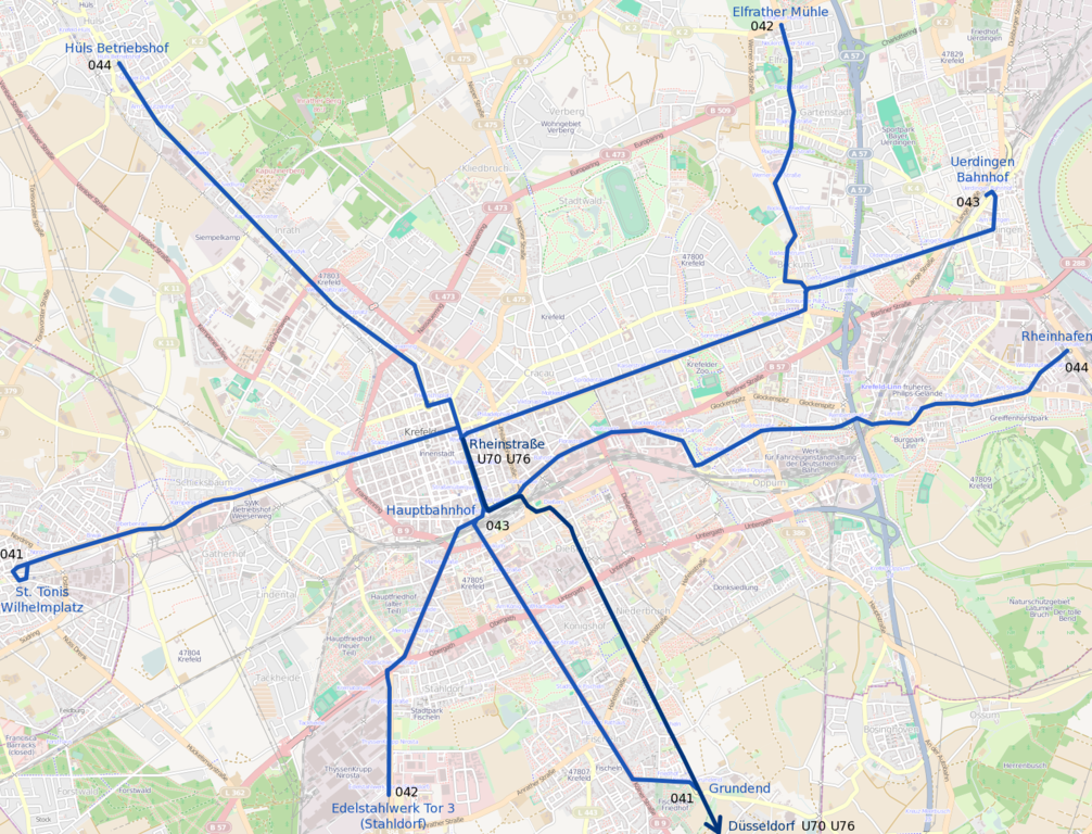
Deutsch: Topographischer Netzplan der Straßenbahn Krefeld, die normalspurige Strecke der Stadtbahn Düsseldorf ist in dunklerem Blau dargestellt.
English: Tramway network of Krefeld |
|||
| Date | ||||
| Source | openstreetmap.org | |||
| Creator |
OpenStreetMap contributors |
|||
| Permission (Reusing this file) |
OpenStreetMap data is available under the Open Database License (details). Map tiles are licensed under the Creative Commons Attribution-ShareAlike 2.0 license (CC-BY-SA 2.0).
This file is licensed under the Creative Commons Attribution-Share Alike 2.0 Generic license.
|
|||
| Georeferencing | If inappropriate please set warp_status = skip to hide. |
File history
Click on a date/time to view the file as it appeared at that time.
| Date/Time | Thumbnail | Dimensions | User | Comment | |
|---|---|---|---|---|---|
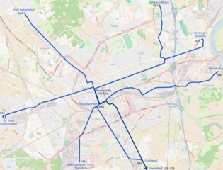
| current | 19:10, 9 June 2013 |  | 1,539 × 1,175 (3.65 MB) | Bürgerentscheid | Updated to 2013-06-09. Closing of branch to Tackheide. |
| 12:41, 7 April 2013 |  | 1,539 × 1,175 (3.65 MB) | Bürgerentscheid | {{XCF}} == {{int:filedesc}} == {{Information |Description=Tramway network of Krefeld |Date=2013-04-07 |Author= Bürgerentscheid |Source= Openstreetmap |Permission= |other_versions=[[File:Tram map of Krefeld.png|thumb|left|Corr... |
File usage
Global file usage
The following other wikis use this file:
- Usage on fa.wikipedia.org
- Usage on fr.wikipedia.org
- Usage on it.wikipedia.org
- Usage on www.wikidata.org