
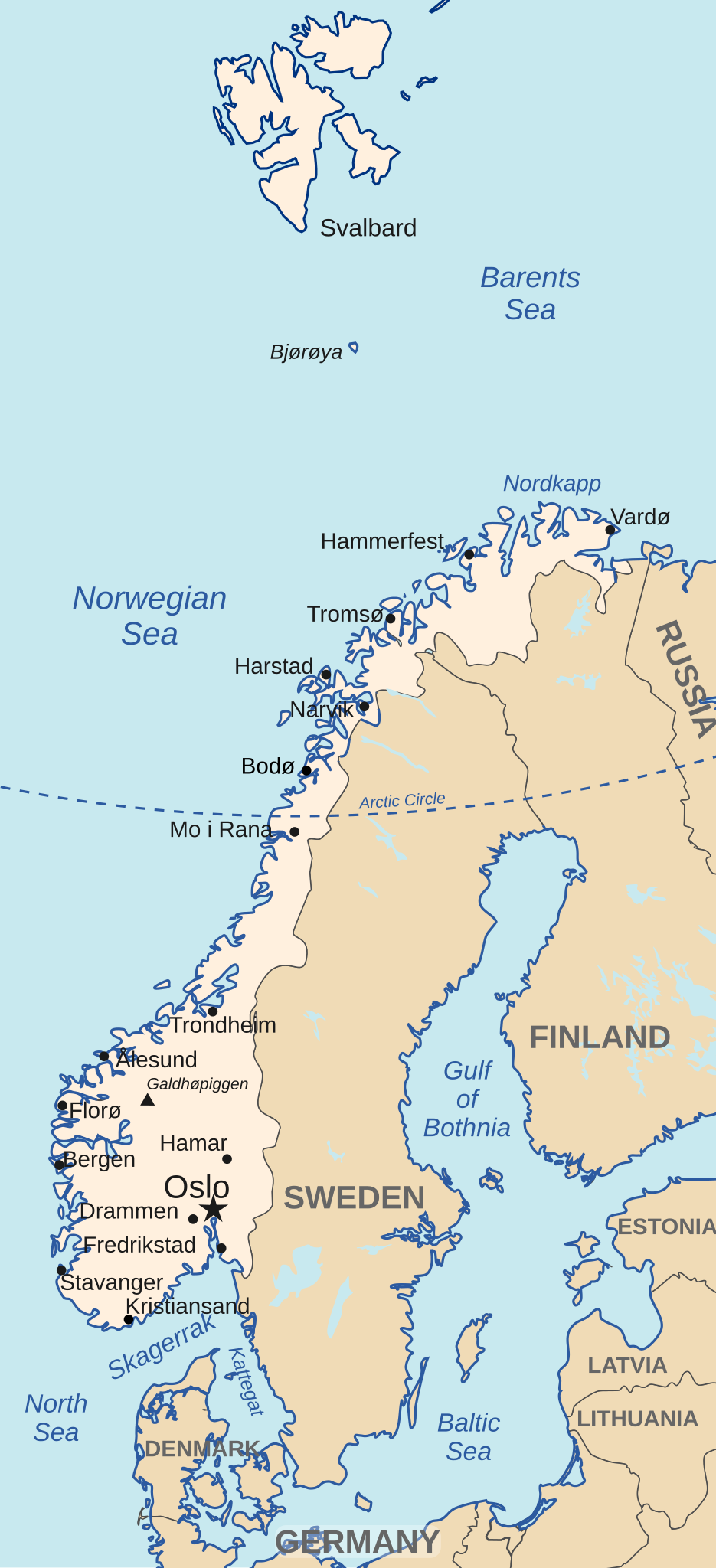
File:Map of Norway 1939.svg

Size of this PNG preview of this SVG file: 147 × 322 pixels. Other resolutions: 109 × 240 pixels | 219 × 480 pixels | 350 × 768 pixels | 467 × 1,024 pixels | 935 × 2,048 pixels.
Original file (SVG file, nominally 147 × 322 pixels, file size: 789 KB)
| This is a file from the Wikimedia Commons. Information from its description page there is shown below. Commons is a freely licensed media file repository. You can help. |
Summary
| Description | Map of Norway in 1939 | ||
| Date | |||
| Source | Blank map of Europe March - September 1939.svg | ||
| Author | Hogweard | ||
| Permission (Reusing this file) |
|
File history
Click on a date/time to view the file as it appeared at that time.
| Date/Time | Thumbnail | Dimensions | User | Comment | |
|---|---|---|---|---|---|
| current | 21:43, 30 April 2024 | | 147 × 322 (789 KB) | Hogweard | {{Information |Description=Map of Norway in 1939 |Source={{f|Blank map of Europe March - September 1939.svg}} |Date=2024-04-30 |Author={{u|Hogweard}} |Permission={{PD-self}} |other_versions= }} Category:1939 maps of Norway |
File usage
The following pages on the English Wikipedia use this file (pages on other projects are not listed):