
File:World98+.svg

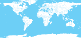
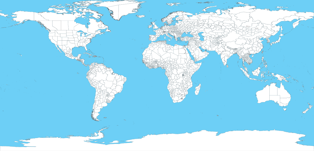
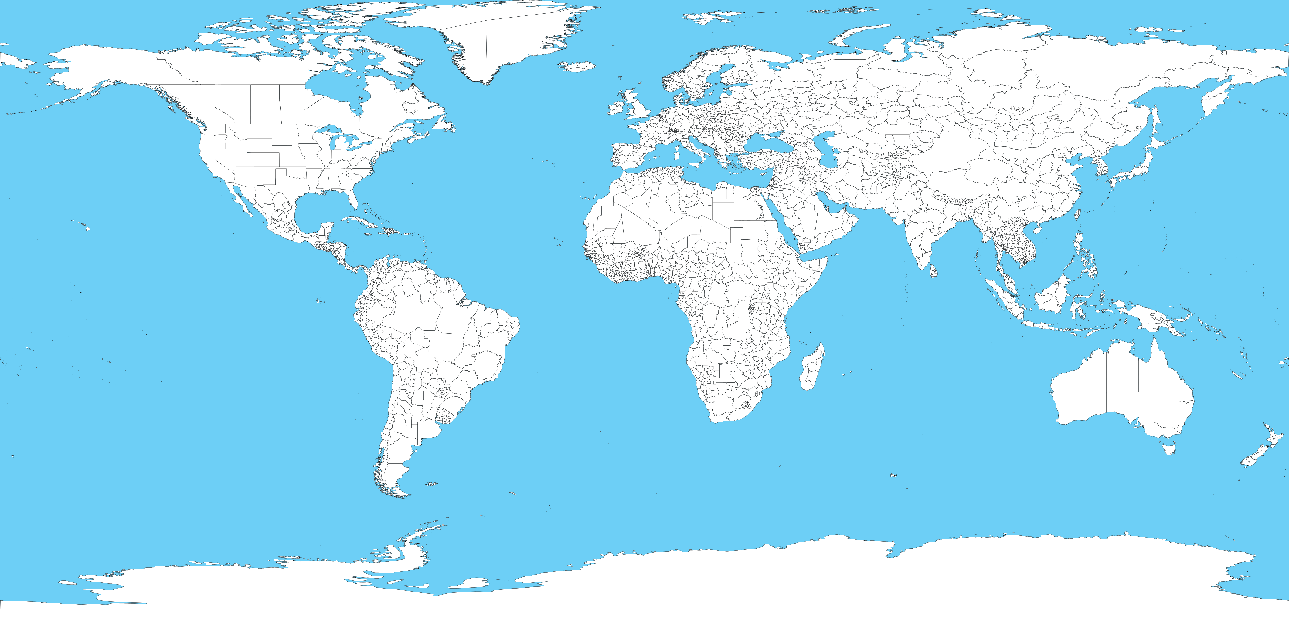
Size of this PNG preview of this SVG file: 800 × 386 pixels. Other resolutions: 320 × 154 pixels | 640 × 309 pixels | 1,024 × 494 pixels | 1,280 × 617 pixels | 2,560 × 1,235 pixels | 8,000 × 3,859 pixels.
Original file (SVG file, nominally 8,000 × 3,859 pixels, file size: 15.93 MB)
| This is a file from the Wikimedia Commons. Information from its description page there is shown below. Commons is a freely licensed media file repository. You can help. |
Summary

| Description | 1998 World map with first level administrative units. | ||
| Date | (UTC) | ||
| Source | |||
| Author |
|
||
| Other versions |
|
||
| SVG development | This map was created with Adobe Illustrator.
|

Licensing
This image is a work of the Centers for Disease Control and Prevention, part of the United States Department of Health and Human Services, taken or made as part of an employee's official duties. As a work of the U.S. federal government, the image is in the public domain.
|
Original upload log
This image is a derivative work of the following images:
- File:World98.svg licensed with PD-USGov
- 2007-10-21T05:45:39Z Brianski 8000x3859 (19805549 Bytes) fix greenland bug
- 2007-10-21T04:35:39Z Brianski 8000x3859 (19811784 Bytes) use 8000 width (instead of 800) so that borders aren't so huge
- 2007-10-21T04:16:24Z Brianski 256x256 (19804889 Bytes) Switch to equidistant cylindrical projection @37.5 degrees (aka first miller equidistant cylindrical projection - http://mathworld.wolfram.com/MillerEquidistantProjection.html)
- 2007-10-21T03:25:11Z Brianski 256x256 (19804985 Bytes) {{Information |Description=1998 World map with first level administrative units. |Source=world98.shp from the [[:en:CDC]] [http://www.cdc.gov/epiinfo/documents/shapes.doc] |Date=2007/10/20 |Author=Translated to SVG by [[User:
Uploaded with derivativeFX
File history
Click on a date/time to view the file as it appeared at that time.
| Date/Time | Thumbnail | Dimensions | User | Comment | |
|---|---|---|---|---|---|
| current | 03:31, 29 January 2010 | | 8,000 × 3,859 (15.93 MB) | Ubernaut | {{Information |Description=1998 World map with first level administrative units. |Source=*File:World98.svg |Date=2010-01-29 03:21 (UTC) |Author=*File:World98.svg: ''Edited by User:ubernaut'' *derivative work: ~~~ |Permission=see below |other_v |
File usage
The following pages on the English Wikipedia use this file (pages on other projects are not listed):