
File:Sunderland (Town Moor) railway station (site), Tyne & Wear (geograph 5259664).jpg
Size of this preview: 800 × 571 pixels. Other resolutions: 320 × 228 pixels | 640 × 457 pixels | 1,024 × 731 pixels | 1,280 × 914 pixels | 1,600 × 1,142 pixels.
Original file (1,600 × 1,142 pixels, file size: 336 KB, MIME type: image/jpeg)
| This is a file from the Wikimedia Commons. Information from its description page there is shown below. Commons is a freely licensed media file repository. You can help. |
_railway_station_(site),_Tyne_%26_Wear_(geograph_5259664).jpg)
Summary
| Description |
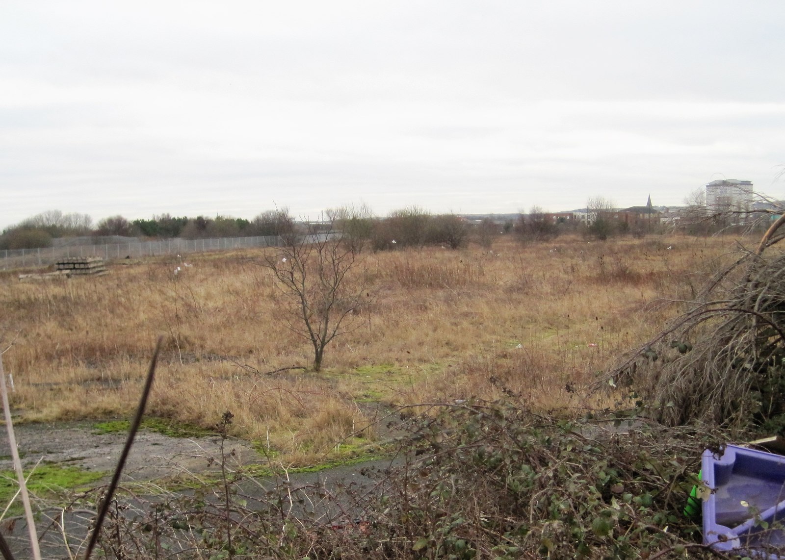
English: Sunderland (Town Moor) railway station (site), Tyne & Wear Opened in 1836 by the Durham and Sunderland Railway, later part of the North Eastern Railway, this single-storey station closed in 1858 and was later demolished. Site view south. We would have been looking end-on at the station, in the middle distance. The whole area was at one time covered in railway lines curving around towards the dock (to the far left). No trace now remains apart from a plaque on a nearby wall. |
| Date | |
| Source | From geograph.org.uk |
| Author | Nigel Thompson |
| Permission (Reusing this file) |
Creative Commons Attribution Share-alike license 2.0 |
| Attribution (required by the license) | Nigel Thompson / Sunderland (Town Moor) railway station (site), Tyne & Wear / |
| Camera location | | View this and other nearby images on: OpenStreetMap |
|---|
_railway_station_(site),_Tyne_%26_Wear_(geograph_5259664).jpg¶ms=054.910995_N_-001.363890_E_globe:Earth_type:camera_source:geograph-osgb36(NZ40885755)_heading:180.00&language=en)
| Object location | | View this and other nearby images on: OpenStreetMap |
|---|
_railway_station_(site),_Tyne_%26_Wear_(geograph_5259664).jpg¶ms=054.909470_N_-001.364070_E_globe:Earth_class:object_type:object_source:geograph-osgb36(NZ40875738)_heading:180.00&language=en)
Licensing

|
This image was taken from the Geograph project collection. See this photograph's page on the Geograph website for the photographer's contact details. The copyright on this image is owned by Nigel Thompson and is licensed for reuse under the Creative Commons Attribution-ShareAlike 2.0 license.
|
This file is licensed under the Creative Commons Attribution-Share Alike 2.0 Generic license.
Attribution: Nigel Thompson
- You are free:
- to share – to copy, distribute and transmit the work
- to remix – to adapt the work
- Under the following conditions:
- attribution – You must give appropriate credit, provide a link to the license, and indicate if changes were made. You may do so in any reasonable manner, but not in any way that suggests the licensor endorses you or your use.
- share alike – If you remix, transform, or build upon the material, you must distribute your contributions under the same or compatible license as the original.
File history
Click on a date/time to view the file as it appeared at that time.
| Date/Time | Thumbnail | Dimensions | User | Comment | |
|---|---|---|---|---|---|
| current | 22:47, 31 December 2019 | | 1,600 × 1,142 (336 KB) | Lamberhurst | Transferred from geograph.co.uk using [https://tools.wmflabs.org/geograph2commons/ geograph2commons] |
File usage
The following pages on the English Wikipedia use this file (pages on other projects are not listed):
Global file usage
The following other wikis use this file:
- Usage on www.wikidata.org
_railway_station_(site),_Tyne_%26_Wear_(geograph_5259664).jpg)