
File:Rio Salor.jpg

Size of this preview: 800 × 599 pixels. Other resolutions: 320 × 240 pixels | 640 × 479 pixels | 1,024 × 766 pixels | 1,280 × 958 pixels | 2,608 × 1,952 pixels.
Original file (2,608 × 1,952 pixels, file size: 1.65 MB, MIME type: image/jpeg)
| This is a file from the Wikimedia Commons. Information from its description page there is shown below. Commons is a freely licensed media file repository. You can help. |
Summary
| Description |
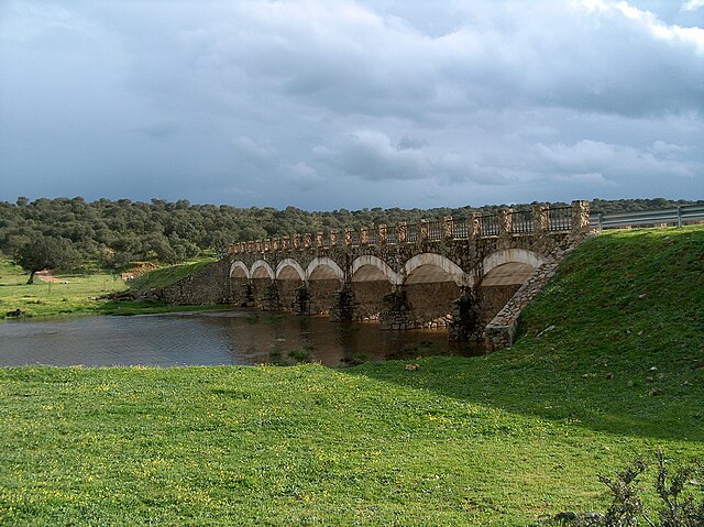
Español: Puente denominado de "La sardina" sobre el río Salor, provincia de Cáceres, España. Se ubica en el término municipal de la capital provincial Cáceres, pero la localidad más cercana al puente es Malpartida de Cáceres. El puente forma parte de un intento fallido de construir una carretera denominada "carretera de la Sardina", que en la II República pretendió unir Malpartida de Cáceres con la carretera Cáceres-Badajoz sin necesidad de entrar en la capital. |
||
| Date | |||
| Source | Own work | ||
| Author | Rpmayor | ||
| Permission (Reusing this file) |
|
| Camera location | | View this and other nearby images on: OpenStreetMap |
|---|
File history
Click on a date/time to view the file as it appeared at that time.
| Date/Time | Thumbnail | Dimensions | User | Comment | |
|---|---|---|---|---|---|
| current | 11:53, 6 May 2009 | | 2,608 × 1,952 (1.65 MB) | Rpmayor | {{Information |Description={{es|1=El río Salor para cerca de Malpartida de Cáceres. El puente es el denominado de "La sardina"}} |Source=Own work by uploader |Author=Rpmayor |Date=2006-03-19 |Permission= |other_versions= }} <!--{{Image |
File usage
The following pages on the English Wikipedia use this file (pages on other projects are not listed):
Global file usage
The following other wikis use this file:
- Usage on ceb.wikipedia.org
- Usage on es.wikipedia.org
- Usage on fr.wikipedia.org
- Usage on pt.wikipedia.org
- Usage on www.wikidata.org