
File:Rauer Islands.jpg
No higher resolution available.
Rauer_Islands.jpg (550 × 358 pixels, file size: 56 KB, MIME type: image/jpeg)
| This is a file from the Wikimedia Commons. Information from its description page there is shown below. Commons is a freely licensed media file repository. You can help. |
Summary
| Description |
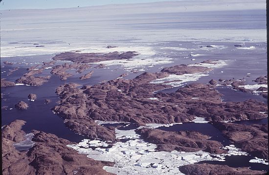
English: A group of rocky coastal islands which lie between Sorsdal Glacier Tongue and Ranvik Bay, in the SE part of Prydz Bay, in Antarctica |
| Date | |
| Source | https://data.aad.gov.au/aadc/gaz/display_name.cfm?gaz_id=130574 |
| Author | Williams, Richard (Dick) |
| Camera location | | View this and other nearby images on: OpenStreetMap |
|---|
©AAD, Copyright Commonwealth of Australia 1974 https://data.aad.gov.au/aadc/about/condition_of_use.cfm
Licensing
This file is licensed under the Creative Commons Attribution 4.0 International license.
- You are free:
- to share – to copy, distribute and transmit the work
- to remix – to adapt the work
- Under the following conditions:
- attribution – You must give appropriate credit, provide a link to the license, and indicate if changes were made. You may do so in any reasonable manner, but not in any way that suggests the licensor endorses you or your use.
File history
Click on a date/time to view the file as it appeared at that time.
| Date/Time | Thumbnail | Dimensions | User | Comment | |
|---|---|---|---|---|---|
| current | 01:09, 4 March 2021 | | 550 × 358 (56 KB) | Rauisuchian | Uploaded a work by Williams, Richard (Dick) from https://data.aad.gov.au/aadc/gaz/display_name.cfm?gaz_id=130574 with UploadWizard |
File usage
The following pages on the English Wikipedia use this file (pages on other projects are not listed):
Global file usage
The following other wikis use this file:
- Usage on ceb.wikipedia.org
- Usage on de.wikipedia.org
- Usage on nn.wikipedia.org
- Usage on www.wikidata.org