
File:Kerguelen-Location.JPG

Original file (872 × 872 pixels, file size: 119 KB, MIME type: image/jpeg)
| This is a file from the Wikimedia Commons. Information from its description page there is shown below. Commons is a freely licensed media file repository. You can help. |
Summary
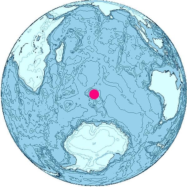
Location of Kerguelen Islands, Indian Ocean.
The map was created with this online map creation tool archive copy at the Wayback Machine.

|
This map image could be re-created using vector graphics as an SVG file. This has several advantages; see Commons:Media for cleanup for more information. If an SVG form of this image is available, please upload it and afterwards replace this template with
{{vector version available|new image name}}.
It is recommended to name the SVG file “Kerguelen-Location.svg”—then the template Vector version available (or Vva) does not need the new image name parameter. |


Licensing

|
This work is free software; you can redistribute it and/or modify it under the terms of the GNU General Public License as published by the Free Software Foundation; either version 2 of the License, or any later version. This work is distributed in the hope that it will be useful, but without any warranty; without even the implied warranty of merchantability or fitness for a particular purpose. See version 2 and version 3 of the GNU General Public License for more details. |
File history
Click on a date/time to view the file as it appeared at that time.
| Date/Time | Thumbnail | Dimensions | User | Comment | |
|---|---|---|---|---|---|
| current | 16:26, 26 June 2006 | | 872 × 872 (119 KB) | Apcbg | Location of Kerguelen Islands, Indian Ocean. The map was created with this [http://www.aquarius.geomar.de/omc/ online map creation tool]. |
File usage
Global file usage
The following other wikis use this file:
- Usage on ckb.wikipedia.org
- Usage on cs.wikipedia.org
- Usage on eo.wikipedia.org
- Usage on fi.wikipedia.org
- Usage on fr.wikipedia.org
- Discussion:Faune des îles Kerguelen
- Wikipédia:Le saviez-vous ?/Archives/2014
- Utilisateur:GhosterBot/BacASable/testStat bis/Visibilité des anecdotes (2014)
- Utilisateur:GhosterBot/BacASable/testStat b/Visibilité des anecdotes (2014)
- Utilisateur:GhosterBot/BacASable/testStat/Visibilité des anecdotes (2014)
- Utilisateur:GhosterBot/BacASable/testStat/Visibilité des anecdotes (2014)/2014 09
- Utilisateur:GhosterBot/BacASable/testStat/Visibilité des anecdotes (2014)/2014 10
- Utilisateur:GhosterBot/BacASable/testStat/Visibilité des anecdotes (2014)/2014 11
- Wikipédia:Statistiques des anecdotes de la page d'accueil/Visibilité des anecdotes (2014)
- Wikipédia:Statistiques des anecdotes de la page d'accueil/Visibilité des anecdotes (2014)/2014 06
- Usage on fy.wikipedia.org
- Usage on gv.wikipedia.org
- Usage on lt.wikipedia.org
- Usage on mr.wikipedia.org
- Usage on nn.wikipedia.org
- Heard- og McDonaldøyane
- Atlas Cove
- Cave Bay
- Corinthian Bay
- Mechanics Bay på Heardøya
- South West Bay
- Spit Bay
- Wakefield Reef
- Cape Arkona på Heardøya
- Cape Bidlingmaier
- Cape Labuan
- Corinth Head
- Erratic Point
- Cape Laurens
- Cape Lockyer
- Rogers Head
- Spit Point
- Mount Aubert de la Rue
- Round Hill på Heardøya
- Scarlet Hill
- Abbotsmithbreen
- Drury Rock
- Meyer Rock
- Needle Island
- Norwegian Rock
- Sail Rock ved Heardøya
- South Island i McDonaldøyane
- Sunken Rock
- Lambeth Bluff
- Lavett Bluff
- Melbourne Bluff
- Vanhoffen Bluff
View more global usage of this file.