
File:Alexandria Winchester 1776.jpg
Original file (1,208 × 704 pixels, file size: 247 KB, MIME type: image/jpeg)
| This is a file from the Wikimedia Commons. Information from its description page there is shown below. Commons is a freely licensed media file repository. You can help. |
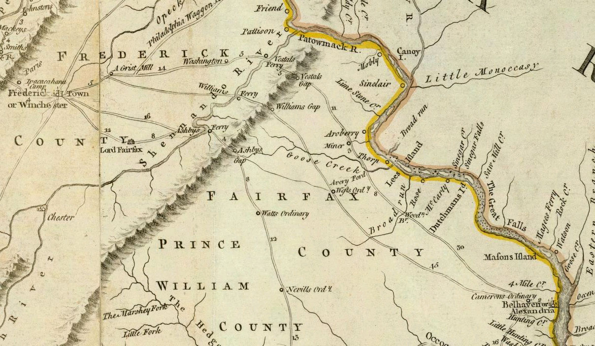
Summary
- Author: Jefferys, Thomas
- Date: 1776
- Title: A Map of the most Inhabited part of Virginia containing the whole province of Maryland with Part of Pensilvania, New Jersey and North Carolina.
- Drawn by Joshua Fry & Peter Jefferson in 1775.
- Publisher: London: Sayer and Bennett
- Published in: The American Atlas: Or, A Geographical Description Of The Whole Continent Of America.
|
This work is in the public domain in its country of origin and other countries and areas where the copyright term is the author's life plus 70 years or fewer.
| |
| This file has been identified as being free of known restrictions under copyright law, including all related and neighboring rights. | |
File history
Click on a date/time to view the file as it appeared at that time.
| Date/Time | Thumbnail | Dimensions | User | Comment | |
|---|---|---|---|---|---|
| current | 01:09, 4 July 2007 | | 1,208 × 704 (247 KB) | NE2 | {{PD-old}} This is a portion of [http://www.davidrumsey.com/maps4596.html a map]: *Author: Jefferys, Thomas *Date: 1776 *Title: A Map of the most Inhabited part of Virginia containing the whole province of Maryland with Part of Pensilvania, New Jersey and |
File usage
Global file usage
The following other wikis use this file:
- Usage on es.wikipedia.org
- Usage on it.wikipedia.org