
File:CIA map of the Caribbean.png
Size of this preview: 800 × 553 pixels. Other resolutions: 320 × 221 pixels | 640 × 442 pixels | 1,024 × 708 pixels | 1,291 × 892 pixels.
Original file (1,291 × 892 pixels, file size: 1.45 MB, MIME type: image/png)
| This is a file from the Wikimedia Commons. Information from its description page there is shown below. Commons is a freely licensed media file repository. You can help. |
Summary
| Description |
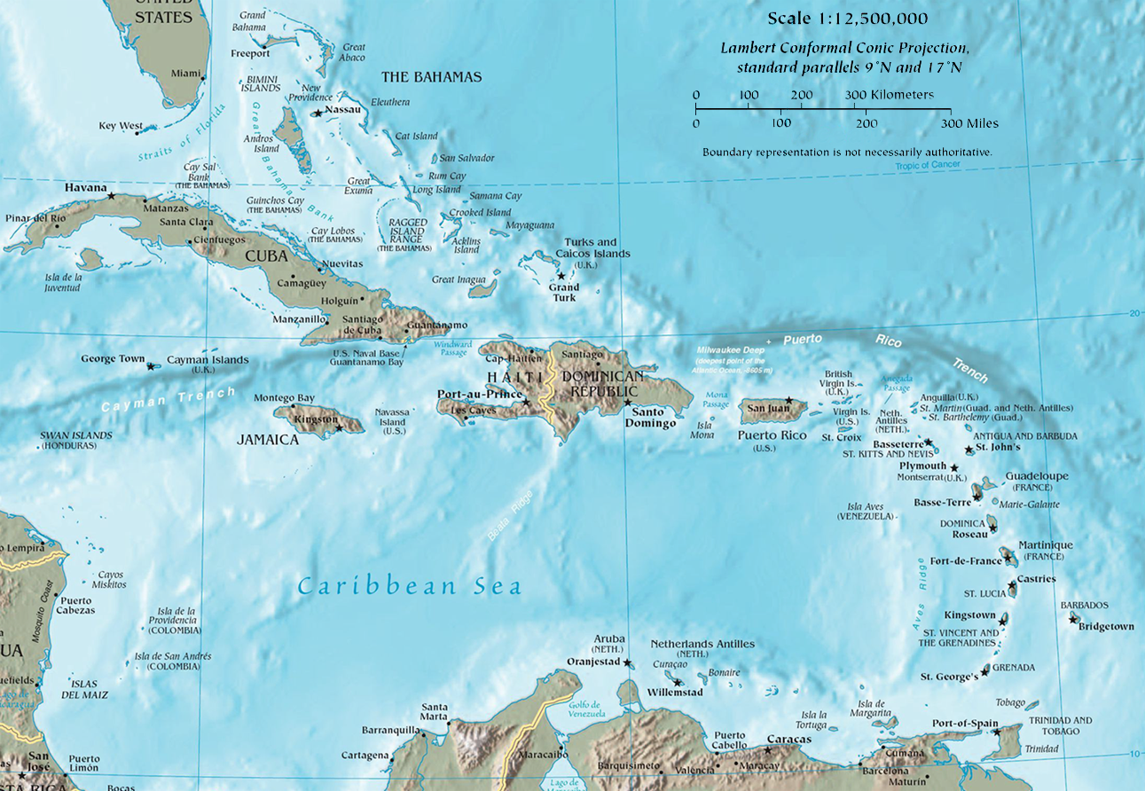
English: Map of the Caribbean by the CIA World Factbook Español: Mapa del Caribe en el CIA World Factbook |
| Date | |
| Source | CIA The World Factbook - Regional maps (Used to be here) |
| Author | U.S. Central Intelligence Agency (CIA) |

|
This map image could be re-created using vector graphics as an SVG file. This has several advantages; see Commons:Media for cleanup for more information. If an SVG form of this image is available, please upload it and afterwards replace this template with
{{vector version available|new image name}}.
It is recommended to name the SVG file “CIA map of the Caribbean.svg”—then the template Vector version available (or Vva) does not need the new image name parameter. |
Licensing
This image is in the public domain because it contains materials that originally came from the United States Central Intelligence Agency's World Factbook.
|
 |
File history
Click on a date/time to view the file as it appeared at that time.
| Date/Time | Thumbnail | Dimensions | User | Comment | |
|---|---|---|---|---|---|
| current | 15:49, 22 March 2015 | | 1,291 × 892 (1.45 MB) | Ras67 | cropped |
| 16:20, 13 July 2011 |  | 1,298 × 898 (1.53 MB) | AlexCovarrubias | File from CIA not derivative | |
| 06:01, 25 June 2011 |  | 1,072 × 731 (831 KB) | AlexCovarrubias |
File usage
The following pages on the English Wikipedia use this file (pages on other projects are not listed):
Global file usage
The following other wikis use this file:
- Usage on af.wikipedia.org
- Usage on als.wikipedia.org
- Usage on am.wikipedia.org
- Usage on ast.wikipedia.org
- Usage on be.wikipedia.org
- Usage on bi.wikipedia.org
- Usage on bs.wikipedia.org
- Usage on ca.wikipedia.org
- Usage on ckb.wikipedia.org
- Usage on cs.wikipedia.org
- Usage on da.wikipedia.org
- Usage on de.wikipedia.org
- Usage on el.wiktionary.org
- Usage on es.wikipedia.org
- Usage on et.wikipedia.org
- Usage on eu.wikipedia.org
- Usage on frr.wikipedia.org
- Usage on fr.wikipedia.org
- Usage on ha.wikipedia.org
- Usage on he.wikipedia.org
- סנט ג'ונס
- קינגסטון
- פורט אוף ספיין
- רואוד טאון
- ג'ורג' טאון (איי קיימן)
- קינגסטאון
- הוואלי (עיר)
- פור-דה-פראנס
- סן חואן
- גונאיב
- בת שבע (ברבדוס)
- ז'רמי (עיר)
- סן קריסטובל (הרפובליקה הדומיניקנית)
- סן פרנסיסקו דה מקוריס
- בריידס
- סנדי פוינט
- ספייטסטאון
- אויסטינס
- הולטאון
- גרינלנד (ברבדוס)
- הילבי
- גוייב
- פונט קסה
- ג'ורג'טאון (סנט וינסנט והגרנדינים)
- שאטובלייר
- פורט אליזבת (סנט וינסנט והגרנדינים)
View more global usage of this file.